

Chugoku eSIM Guide: Hiroshima, Okayama, Yamaguchi, and the San’in Coast
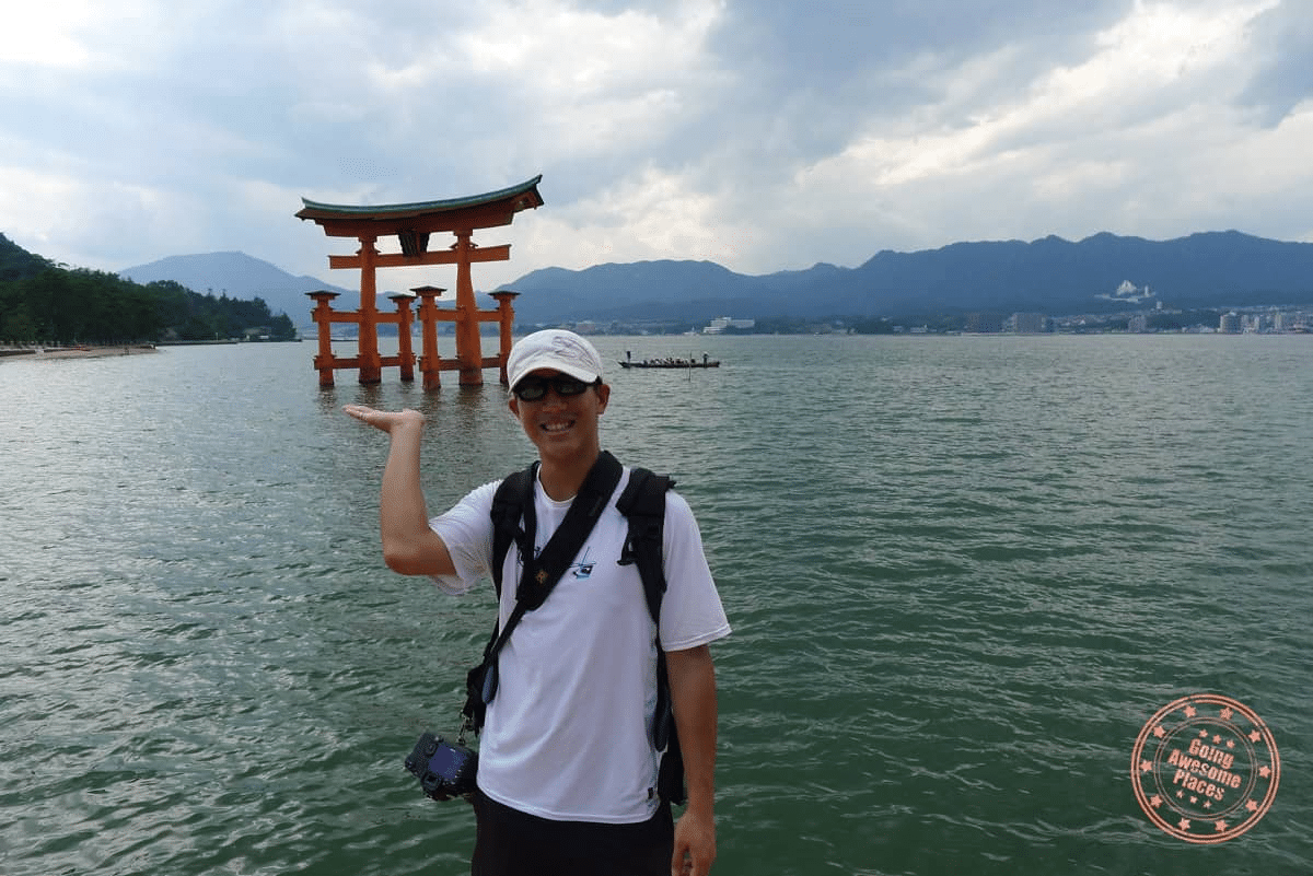
Western Honshu’s Chugoku region occupies a unique position in the Japan travel landscape — home to one of Japan’s most significant historic sites, one of its most iconic island experiences, and a stretch of rural coastline along the Sea of Japan that remains among the country’s most genuinely undiscovered travel corridors. Hiroshima’s Peace Memorial is one of the world’s great sites of historical witness. Miyajima’s floating torii gate is among Japan’s most photographed images. The San’in Coast stretching from Tottori’s sand dunes to Matsue’s castle and Hagi’s preserved samurai district offers a rural Japan experience that the standard Shinkansen circuit barely touches.
The chugoku esim question spans this full geographic range — from Hiroshima’s dense urban connectivity to the remote San’in coastal villages where connectivity reflects the population density. Understanding where coverage is excellent (Hiroshima, Okayama, the Sanyo coast cities), where it is adequate (Matsue, Tottori, Yamaguchi city), and where it requires specific carrier selection (the San’in coast rural road, the western peninsula approaches to Hagi, the mountain passes between Sanyo and San’in) is the connectivity planning exercise that makes a Chugoku itinerary work smoothly
Chugoku’s Mix of Iconic and Hidden Destinations
Chugoku’s dual character — the iconic and the hidden — is reflected in its tourism infrastructure. The Sanyo side (facing the Seto Inland Sea) has been tourist-developed alongside its Shinkansen accessibility: Hiroshima’s memorial and castle, Okayama’s Korakuen garden and Bizen castle, Onomichi’s temple-lined hill walk and cat streets, the Shimanami Kaidō cycling route to Ehime. These destinations have connectivity infrastructure commensurate with their visitor numbers.
The San’in side (facing the Sea of Japan) has been slower to develop tourism infrastructure, and its connectivity reflects this: the cities (Matsue, Tottori, Hagi, Yamaguchi) have adequate urban coverage, but the coastal road connecting them — one of Japan’s most scenic rural drives — passes through areas where network coverage becomes variable in ways that Sanyo-side itineraries don’t encounter.
Mobile Coverage Across the Chugoku Region
The Sanyo-San’in Coverage Contrast
The Chugoku Mountains running east-west through the region’s interior create a topographic barrier that influences both the weather and the telecommunications infrastructure on either side. The Sanyo side’s population density and Shinkansen corridor has driven comprehensive network investment. The San’in side’s rural character and lower population density has received correspondingly less coverage infrastructure from all three carriers — with Docomo maintaining the most extensive rural coverage across the San’in coast.
docomo chugoku Coverage
Docomo provides the most comprehensive coverage across both the Sanyo and San’in sides of the Chugoku region. In the major cities, Docomo’s performance is equivalent to the other carriers. On the San’in coastal road, in the mountain passes between sides, and in the rural areas approaching Hagi, Tsuwano, and the western Yamaguchi peninsula, Docomo’s coverage depth maintains connectivity that the other carriers do not consistently match.
softbank chugoku and kddi chugoku Coverage
Both SoftBank and KDDI provide strong coverage in Chugoku’s major cities — Hiroshima, Okayama, Matsue, and Tottori city centers are well-covered. The differentiation from Docomo appears in rural Chugoku — particularly along the San’in coast between cities and in the mountain areas — where Docomo’s rural network investment provides coverage that SoftBank and KDDI don’t match.
City eSIM Tips for Chugoku’s Major Centers
Hiroshima eSIM
esim for hiroshima requirements cover one of Japan’s most visited cities, where the connectivity needs extend across both the historical witness experience and the practical urban tourism functions.
The Peace Memorial Park and Museum — the emotional and historical core of any Hiroshima visit — is within comprehensive coverage across all three carriers. The open park setting around the A-Bomb Dome provides excellent signal propagation; the Peace Memorial Museum interior is well-covered. Navigation to the Atomic Bomb Dome, the Children’s Peace Monument, and the Memorial Cenotaph is reliably supported across all networks.
Hiroshima’s downtown — the Hondori shopping arcade, Hiroshima Castle, the Shukkeien garden, and the Hiroshima Stadium area — is fully within urban coverage across all carriers. The Hiroshima tram system, which connects the station area to the Peace Memorial Park and city center, maintains signal throughout its route.
Hiroshima’s okonomiyaki restaurant culture — the city’s version of the savory pancake is a must-experience, with Okonomiura food building housing dozens of competing styles — is well-covered for the Tabelog and Google Maps restaurant research that helps visitors navigate this delicious complexity.
Okayama Mobile Data
okayama mobile data requirements center on the Korakuen garden (one of Japan’s three great landscape gardens) and the Okayama castle across the river. Both sites are within strong coverage across all carriers. Okayama’s position as a Shinkansen junction for the San’in access and for the Seto Inland Sea islands has driven telecommunications development alongside its transit infrastructure.
The approach to Naoshima and the Setouchi art islands from Okayama’s Uno Port is well-covered at the port terminal, with coverage on the ferry crossing to Naoshima discussed in the island section below.
Yamaguchi eSIM
yamaguchi esim requirements cover both Yamaguchi city itself and the Western Yamaguchi destinations that make the prefecture distinctive: Hagi’s remarkably preserved samurai town, the Akiyoshido cave system and Akiyoshidai karst plateau, and the Tsunoshima bridge island in the Sea of Japan.
Yamaguchi city is a small prefectural capital with adequate coverage across all carriers. The more significant connectivity considerations emerge at the prefecture’s destination extremities:
Hagi: The preserved Edo-period samurai district has adequate Docomo coverage throughout. The approach roads from Yamaguchi city cross mountain terrain where Docomo is the most reliable carrier.
Akiyoshidai and Akiyoshido: The vast limestone karst plateau and Japan’s largest cave system have Docomo coverage in the visitor areas; the cave interior itself is beyond mobile signal regardless of carrier.
Tsunoshima: The bridge-connected island in the Sea of Japan has limited Docomo coverage at the island’s beach and viewpoint areas.
Tottori Internet
tottori internet requirements cover Japan’s least populated prefecture and home of the famous Tottori Sand Dunes — the only true sand dune system in Japan, located within city limits and one of the country’s most unexpected natural wonders.
Tottori city and the sand dune area are covered adequately on Docomo; coverage on the dunes themselves is present though variable depending on position relative to the coastal ridge. The Tottori Sand Museum and dune visitor areas have adequate connectivity for the photography and social sharing that Japan’s only sand dunes inevitably inspire.
The coastal road east of Tottori toward the San’in Coast UNESCO Geopark — the dramatically eroded coastal geology of the San’in coast — has Docomo coverage along the main national route with variable coverage on coastal access roads to specific geological features.
Matsue eSIM
matsue esim requirements cover Shimane Prefecture’s castle town — home to one of Japan’s twelve original feudal castles still standing in their original wooden construction, and the home town of Lafcadio Hearn (Koizumi Yakumo), whose writings introduced Japanese culture to the Western world. Matsue’s coverage is adequate across all carriers in the city center, castle area, and Matsue Vogel Park.
The Izumo Taisha Grand Shrine — one of Japan’s most sacred Shinto sites, located about 30 minutes from Matsue by Ichibata Railway — has coverage in the shrine approach area and main precinct across all carriers, with Docomo most reliable in the surrounding rural approaches.
Island Connectivity: Miyajima, Naoshima, and Shodoshima
Miyajima Connectivity
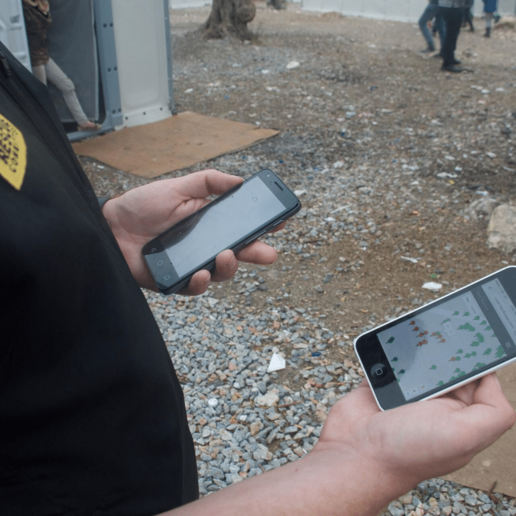
miyajima connectivity is among Chugoku’s most frequently asked connectivity questions — the island where Itsukushima Shrine’s famous floating torii gate appears to float on the Seto Inland Sea at high tide is one of Japan’s most visited tourist sites, and travelers want to share that image immediately.
Ferry coverage from Miyajimaguchi: excellent across all carriers for the ten-minute crossing. Miyajima island coverage in the main tourist area (Itsukushima Shrine, Omotesando shopping street, Daisho-in temple, and the Miyajima deer encounters) is strong across all carriers during the hours when most visitors are present.
The Miyajima ropeway to the summit of Mt. Misen — with views across the Seto Inland Sea — has coverage adequate for the main visitor experience on Docomo; other carriers become less reliable at the upper ropeway station and summit area.
For the famous evening illuminated torii gate photography — when the site is at its most magical and visitor numbers are lower — Docomo provides the most reliable connectivity for the real-time sharing that the extraordinary image inspires.
Naoshima eSIM
naoshima esim planning covers the contemporary art island in the Seto Inland Sea accessible from both Okayama’s Uno Port and Takamatsu in Kagawa. Naoshima’s coverage — Docomo in the main museum and port areas — supports the art tourism experience: navigation between the Benesse House museum, the Chichu Art Museum, and the Art House Project installations scattered through the island’s historic village.
The ferry crossings to Naoshima maintain signal with Docomo for most of the crossing; mid-crossing coverage can be variable depending on the specific route and vessel position.
Shodoshima
Shodoshima — the Seto Inland Sea’s second-largest island, known for its olive cultivation, soy sauce production, and the scenic Kankakei Gorge ropeway — has Docomo coverage in the main port towns and tourist areas. The mountain ropeway area and gorge hiking paths have adequate Docomo coverage at the main viewpoints.
San’in Coast Rural Travel Considerations
The san’in coast internet planning exercise is the most important connectivity consideration for Chugoku travelers venturing beyond the cities into the coastal rural landscape that defines the region’s hidden character.
The San’in Coast Route
The coastal national route connecting Tottori, Matsue, and westward through Shimane to Hagi and Yamaguchi passes through a landscape of fishing villages, dramatic coastal geology, small hot spring towns, and cedar-covered mountains that drop directly to the Sea of Japan. This is one of Japan’s most scenic rural drives — and one where network coverage reflects the sparse population.
The pattern: adequate Docomo coverage in the towns along the route, variable coverage on the coastal road sections between towns, limited or absent coverage on secondary roads accessing specific coastal viewpoints and beach areas.
Practical San’in Road Trip Connectivity
For the san’in coast internet planning exercise: download offline Google Maps tiles for the entire coastal route before departing from Tottori or Matsue. Navigation via pre-downloaded tiles eliminates real-time data dependency for the road route itself. Connectivity for messaging and social sharing is available at town stops throughout the route; treat the scenic coastal driving sections as connectivity-variable.
Docomo is the carrier specification for the San’in coast — its rural coverage along the route provides significantly more connectivity touchpoints than SoftBank or KDDI on the same road.
Japan Sim Data Recommendations for Chugoku Trips
For Hiroshima and Miyajima Only
Travelers whose Chugoku visit is concentrated on Hiroshima and Miyajima can use any Japan Sim Data network with confidence. A 10GB fixed data plan covers the urban navigation, Peace Memorial research, restaurant discovery, and photography sharing of a Hiroshima-focused visit. SoftBank’s strong Hiroshima urban performance makes it a competitive choice here.
For the Sanyo City Circuit
Hiroshima, Okayama, Onomichi, and the Shimanami Kaidō connection — all within the Sanyo corridor’s comprehensive coverage — can be served by any Japan Sim Data network on a 10–15GB plan. The chugoku data plan for this itinerary type is the most straightforward connectivity decision in the region.
For the Full Chugoku Itinerary (Sanyo + San’in)
The mobile data chugoku traveler covering both sides — Hiroshima and the Peace Memorial, Miyajima, Okayama, Matsue, Izumo Taisha, Tottori dunes, Hagi, and the San’in coast route — should specify Docomo for the rural coverage advantage on the San’in side. Plan sizing toward 15–20GB covers the combined urban and rural photography and communication demands of this comprehensive western Honshu itinerary.
For San’in Coast Road Trippers
The chugoku itinerary esim for San’in coast road trip specialists — traveling the coastal route as a primary experience rather than a transit corridor — should specify Docomo unlimited. Continuous navigation, offline map supplementation, and the photography demands of the coast’s extraordinary scenery favor the peace of mind that unlimited data provides.
According to the Japan National Tourism Organization (JNTO), Hiroshima consistently ranks as one of Japan’s top five international visitor destinations, while the San’in Coast is identified as an emerging tourism development priority for international visitor diversification. The GSMA notes that western Japan eSIM adoption has grown alongside inbound tourism expansion to regions beyond the Tokyo-Kyoto-Osaka circuit.
Conclusion: Western Honshu Deserves the Right Coverage
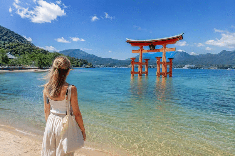
Chugoku’s dual character — iconic Hiroshima and hidden San’in — creates a connectivity planning exercise that rewards specificity. For the Sanyo-side cities and islands, any carrier performs excellently. For the San’in coast, the mountain passes, the western peninsula approaches, and the rural coastal road that reveals Chugoku’s most genuinely undiscovered character: Docomo, from Japan Sim Data, with offline maps downloaded before the road leaves the cities behind.
Japan Sim Data’s Docomo-network eSIM plans for Chugoku and western Honshu are available at wordpress-1493298-6069223.cloudwaysapps.com — install before departure and navigate Japan’s western region with the connectivity confidence that its full geographic range deserves.
Frequently Asked Questions
Q1: Which carrier is best for the San’in Coast route between Tottori and Hagi?
A: Docomo provides the most comprehensive coverage along the San’in coastal route — in the towns, on the main coastal road sections, and on the approach roads to the geological features and coastal viewpoints that make the San’in drive distinctive. Download offline maps for the full route before departure and treat the scenic coastal driving sections as connectivity-variable regardless of carrier.
Q2: Is there connectivity at the Miyajima floating torii gate?
A: Yes. All three carriers provide strong coverage in the main Itsukushima Shrine and Miyajima tourist area. Evening coverage for the illuminated torii gate photography is most reliably supported by Docomo. The Mt. Misen ropeway summit area has better Docomo than SoftBank or KDDI coverage.
Q3: What eSIM plan is recommended for a Hiroshima and San’in combined itinerary?
A: Specify Docomo for the rural San’in coverage advantage and plan for 15–20GB to cover the combined urban photography, Peace Memorial site research, and rural road trip navigation that a Hiroshima-plus-San’in itinerary generates. Unlimited is appropriate for road trippers spending significant time on the coastal route.
Q4: Is there coverage at Naoshima’s art museums?
A: Docomo provides coverage at the main Naoshima visitor areas — Benesse House, Chichu Art Museum, and the Art House Project village installations. The ferry crossing from Uno Port maintains coverage for most of the journey. Download the museum apps and any relevant navigation before crossing for the most reliable experience.
Q5: Does Docomo cover Matsue and the Izumo Taisha area?
A: Yes. Matsue city has adequate Docomo coverage throughout the castle town and city center. Izumo Taisha’s main shrine precinct and approach is covered on Docomo, with the surrounding rural Izumo area having the progressive coverage thinning typical of rural Japan. Coverage is reliable for the main visitor experience at both destinations.